Public Reports Air & Water Database Public Reports Public Reports Air & Water Database Public Reports

Site Information & Details

SNOTEL Site: Trout Creek
State: Utah
Site Number: 833
County: Uintah
Latitude: 40 deg; 44 min N
Longitude: 109 deg; 40 min W
Elevation: 9518 feet
Reporting since: 1978-10-01
Questions about this site.
Site notes:
  • Data is provisional and subject to revision.
  • More site notes.
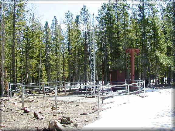
  • Photograph is of the Trout Creek SNOTEL site.
  • 2024-November-29 National Water and Climate Center
  • To Obtain the Daily Normals for the Period 1991-2020:
  • Daily Snow Water Equivalent Medians or Averages
  • Daily Accumulated Precipitation Medians or Averages
Site Reports:
Report Type Daily Current Water
Year*
Historical Hourly
Standard Sensors† (Most Current Data) Last 7 Days Daily Readings Daily (Csv Delimited) Last 7 Days
Precipitation, Accumulated Last 7 Days Daily Table Daily Table Last 7 Days
Snow Depth Last 7 Days Daily Readings   Last 7 Days
Snow Water Equivalent Last 7 Days Daily Table  •  Daily Graph Daily  •  Monthly Last 7 Days
Temperature Last 7 Days Max  •  Min  •  Avg Max  •  Min  •  Avg Last 7 Days
Soil Moisture/Temperature      

Element Reports:
Check to view temperatures in degrees Fahrenheit. Default is degrees Celsius.
Select Report Content Select Time Series Select Format
Check here to view reports in new window.